
Site Mapping & Survey Data in Townsville
Based in Townsville, serving Queensland wide
Smarter Data Capture
More Than Progress Photos
The same site visit can also be used to collect detailed photogrammetry or LiDAR data, helping clients gain substantially more value from each mobilisation.
Depending on the project requirements, site conditions, accuracy controls and processing scope, available geospatial deliverables can include:
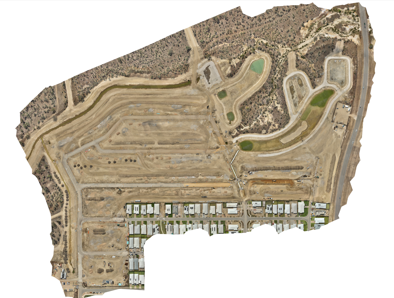
- high-resolution orthomosaic maps
- georeferenced aerial imagery
- current-site base maps
- RGB point clouds
- dense photogrammetric point clouds
- classified point clouds
- ground and non-ground point classifications
- digital surface models
- digital terrain models
- digital elevation models
- triangulated terrain surfaces
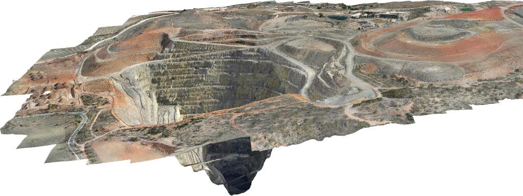
- textured 3D models
- 3D reality models
- Gaussian-splat visualisations
- contour mapping
- spot heights and elevation data
- longitudinal and cross-sectional profiles
- slope and gradient analysis
- cut-and-fill calculations
- stockpile and material-volume calculations
- excavation and embankment measurements
- site-change and surface-change analysis
- before-and-after comparisons
- construction-stage comparisons
- as-built condition capture
- design-to-current-surface comparisons
- highwall, batter and embankment models
- drainage and surface-flow visualisation
- corridor and linear-infrastructure mapping
- façade, structure and vertical-surface modelling
- measurements of distances, areas, heights and volumes
- CAD, GIS and point-cloud data exports for compatible client software
- web-viewable 2D and 3D project models
- annotated maps and project reporting imagery
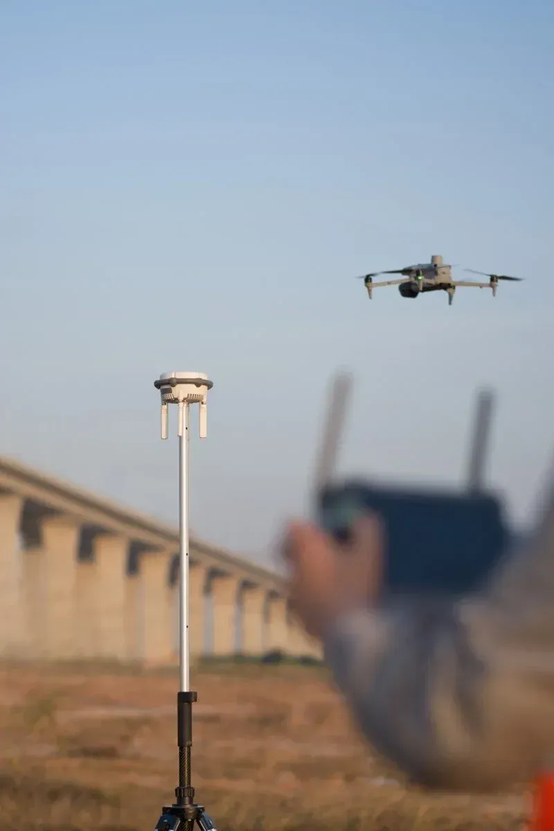
Modern photogrammetry systems can generate orthomosaics, point clouds, elevation models and detailed 3D reconstructions.
One Capture Program, Multiple Uses
A structured data-capture program allows one flight to support multiple departments and project requirements.
For example, the same dataset may provide:
- progress imagery for project reporting
- an updated orthomosaic for planning meetings
- point-cloud data for engineering or design review
- stockpile volumes for commercial reporting
- elevation information for earthworks assessment
- 3D models for stakeholder communication
- high-resolution marketing imagery for project promotion
This reduces duplicated site visits and helps create a consistent source of visual and spatial information across the project.
Repeated mapping missions can also be aligned over time, allowing successive datasets to be compared against earlier captures. This creates a measurable record of earthworks, construction activity, stockpile movement, vegetation clearing and changes to site conditions.
Accuracy Matched to the Project
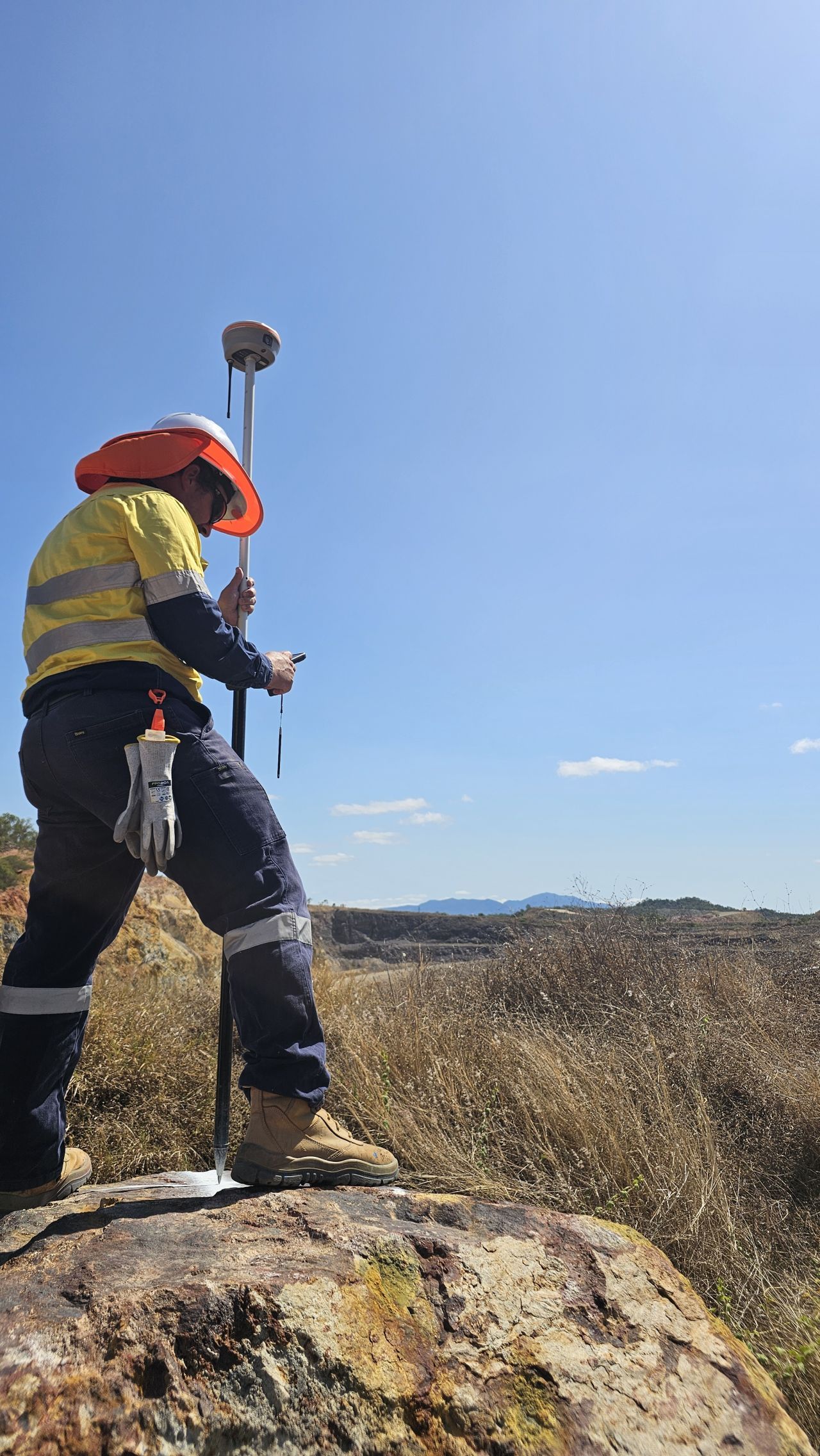
Deliverables can be produced using RTK positioning, surveyed ground control, checkpoints or client-provided survey control, depending on the required accuracy and intended use.
Accuracy is influenced by factors including:
- flight altitude and ground sampling distance
- terrain and vegetation
- survey-control quality
- satellite and positioning conditions
- camera or sensor configuration
- processing methodology
- coordinate system and datum requirements
- the final purpose of the data
High-accuracy aerial systems can support centimetre-level geospatial data capture under suitable operating and control conditions. However, accuracy should always be specified for the individual project rather than assumed from the equipment alone.
Survey and Engineering Support
UAScend can provide aerial data capture and processed geospatial deliverables for use by project managers, engineers, civil contractors, mining teams, environmental consultants and survey professionals.
Where a project requires legally certified property boundaries, cadastral plans or other regulated cadastral surveying services, the work must be completed or certified by an appropriately registered cadastral surveyor in Queensland. UAScend can collect supporting aerial data and work alongside the client’s appointed survey professional where required.
Fast Turnaround
Actionable Data
Safer Inspections
Enquire Today
Looking to improve crop performance and land management?
Send through your details and the team will be in touch shortly.
Thank you for contacting UAScend Aerial Solutions.
We will get back to you as soon as possible.
Oops, there was an error sending your message.
Please try again later.
FAQ
When is drone mapping most useful for a project site?
Drone mapping is most useful during early planning, design and progress review stages. It helps engineers, surveyors, planners and developers gain a clear understanding of site conditions before major work begins. This is especially valuable for large, complex or difficult terrain where ground surveys may take longer. Capturing accurate aerial data early can support faster decisions and reduce project delays. Repeat mapping can also help track site changes over time.
What kind of outputs can site mapping provide?
Site mapping can provide a range of detailed, georeferenced outputs depending on the project requirements. These may include high-resolution orthomosaic maps, DEMs, DSMs, 3D models, textured mesh files and point clouds. These outputs can support measurements such as distance, area and volume. They can also be used for planning, design and analysis in GIS or CAD systems. For larger or more technical projects, customised outputs such as contours, volumetrics and specific projections may also be available.
How accurate is drone mapping data?
Accuracy depends on the site, flight conditions, project size and whether ground control points are required. For many mapping projects, relative accuracy is suitable for visual planning, site review and general measurement. When survey-grade accuracy is needed, ground control points can help achieve centimetre-level results. This makes drone mapping suitable for more detailed planning, design and analysis requirements. UAScend Aerial Solutions can discuss the accuracy needs of each project before recommending the right mapping option.