Drone Services in Townsville
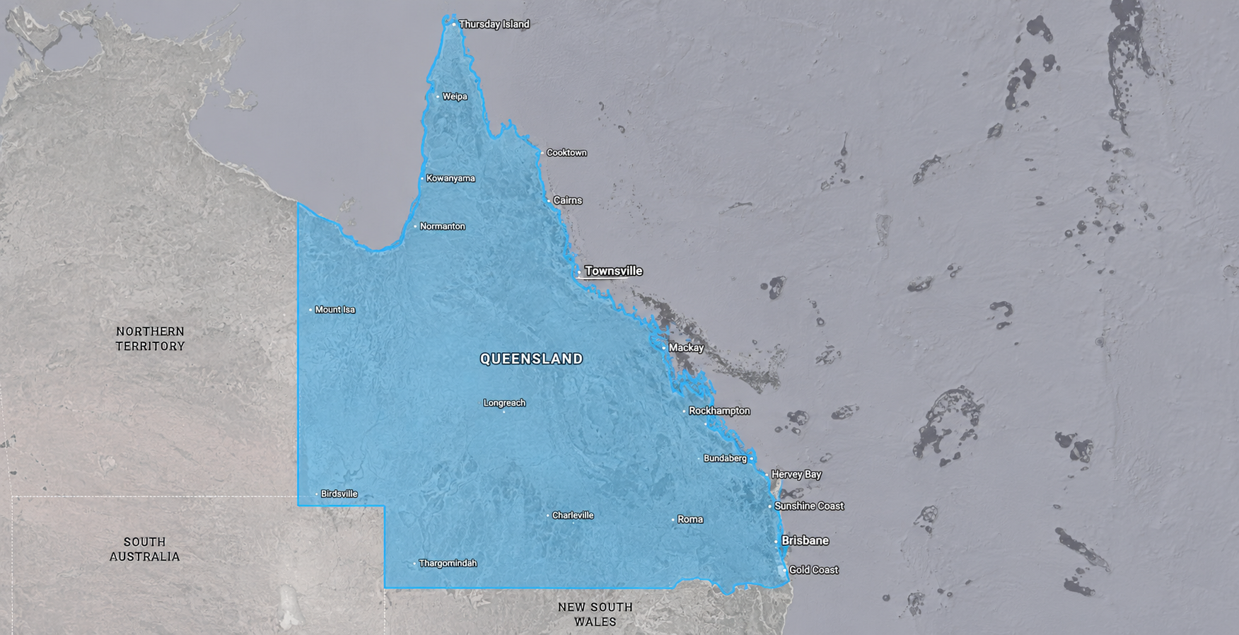
Based in Townsville, serving Queensland wide

Services We Provide
Construction & Development Monitoring
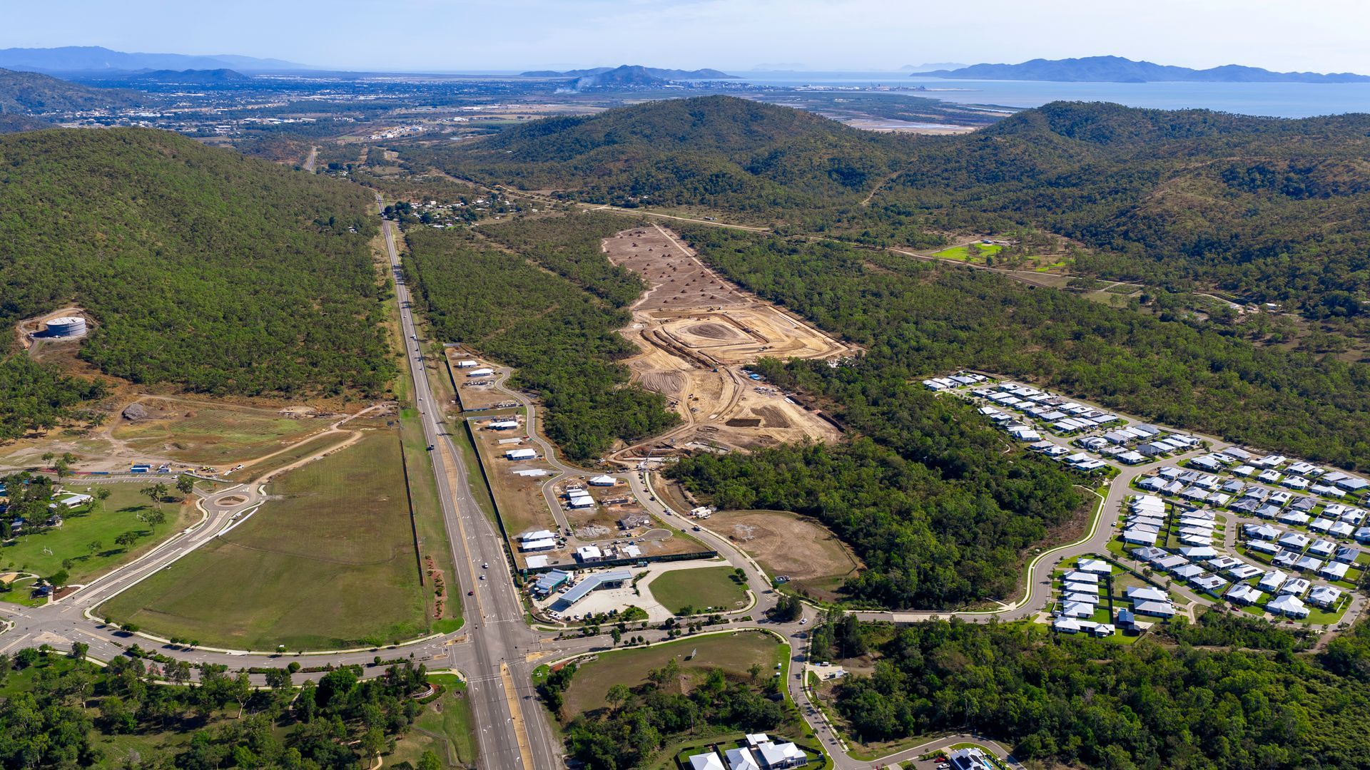
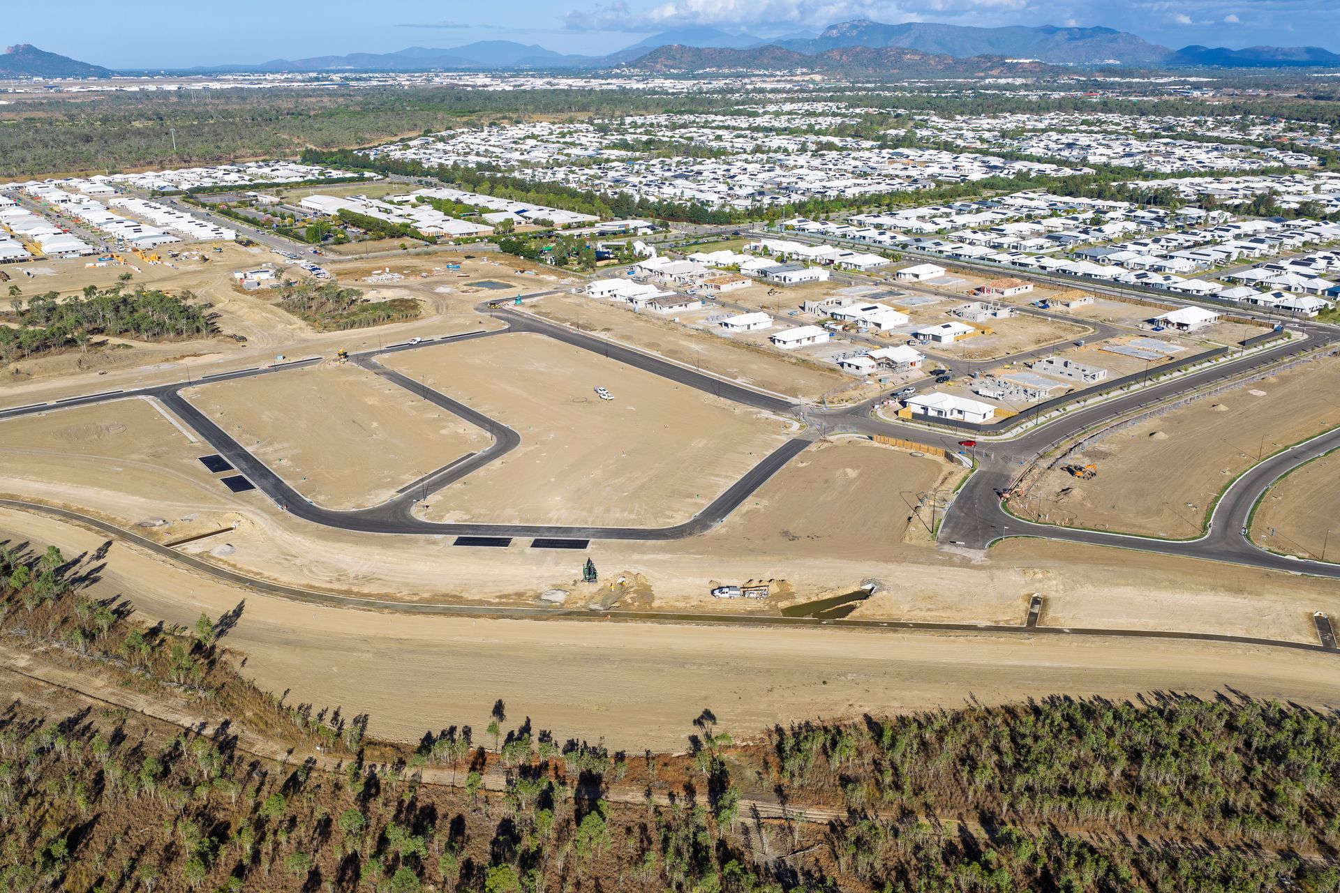
Keeping construction projects on track starts with clear visibility. We deliver construction monitoring and development through regular aerial updates, supporting progress tracking, reporting and as-built comparisons across every stage.
Site Mapping &
Survey Data
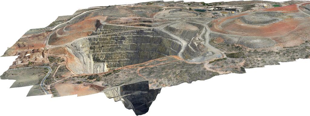
Accurate planning starts with accurate data. Using aerial mapping, we capture detailed orthomosaics, 3D models and site data to support measurement, analysis and confident project decisions.
Business Marketing
Visuals
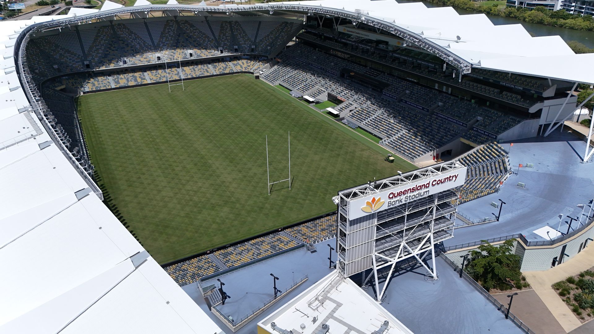
Your business deserves to be seen clearly. We capture compelling aerial photos and video that showcase your location, facilities or services, creating professional content for websites, social media and promotions.
Telecommunications Tower Inspections
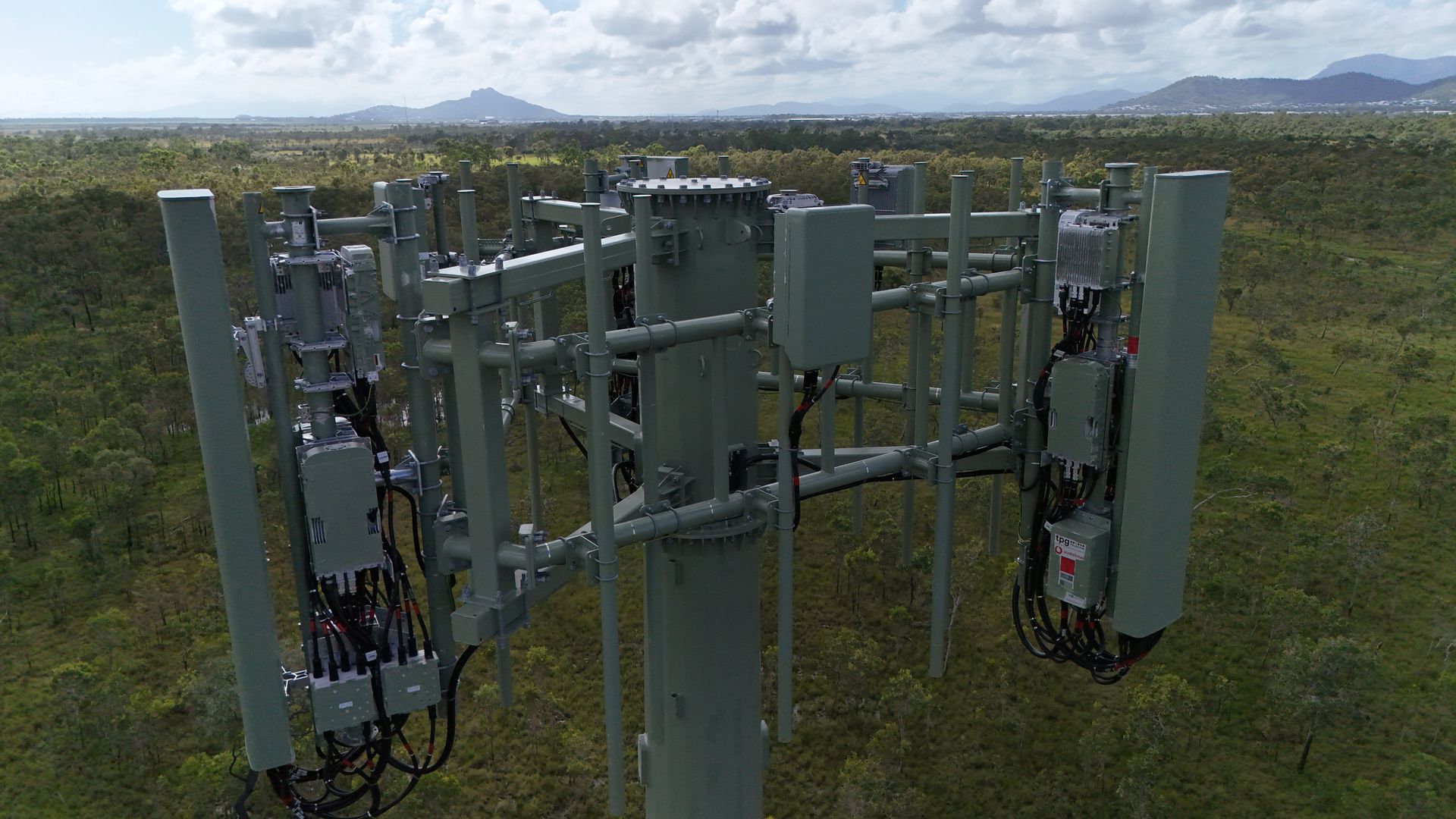
Critical infrastructure needs clear visibility. We assess antenna health, cabling and structural integrity remotely, capturing detailed aerial data to support safer inspections and smarter maintenance planning.
Event Aerial
Coverage
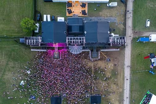
Memorable events deserve unforgettable views. We capture aerial photos and video that showcase your event’s scale, energy and atmosphere from unique perspectives for promotion and lasting impact.
Insurance Assessment Imagery
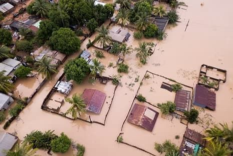
Clear evidence helps support faster claims. We capture fast, accurate aerial imagery after storm, fire or flood damage, helping property owners, insurers and assessors document affected areas safely.
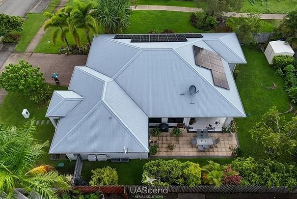
Asset, Roof & Solar Inspection
Reliable inspections help prevent costly issues. We complete asset, infrastructure and solar inspections using aerial data, identifying faults across critical systems early without disrupting operations.
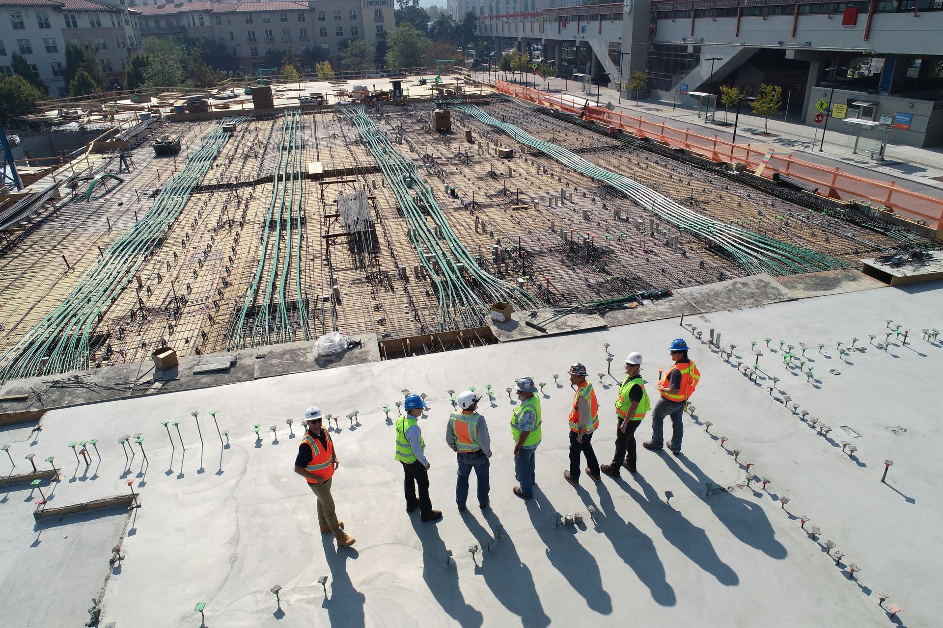
Aerial Site Safety & Compliance Audits
Safer worksites start with better visibility. We capture aerial imagery and video for commercial and industrial sites, helping identify hazards, support compliance and review site conditions without unnecessary risk.
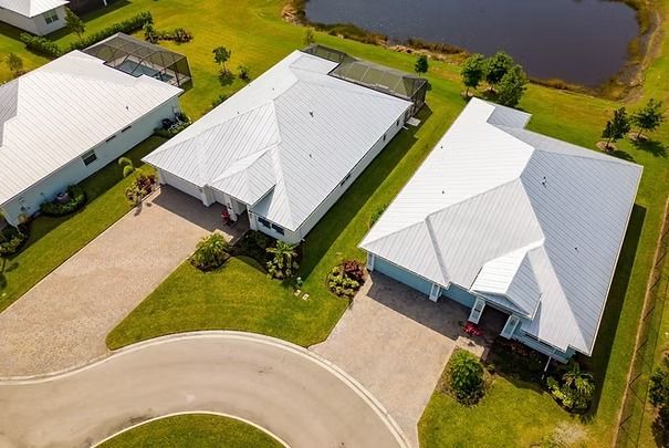
Property Pre-Purchase Aerial View
Buying property is easier with a clearer perspective. We capture aerial views of roofs, gutters, boundaries and surroundings, helping buyers make informed decisions before they commit.
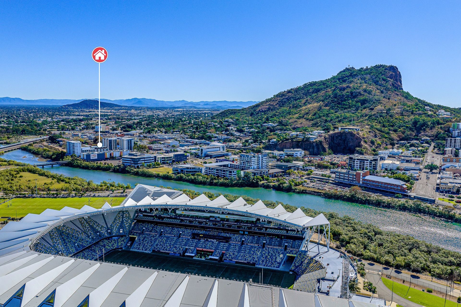
Real Estate & Property Marketing
Strong listings need standout visuals. We capture aerial photos and video that showcase property scale, layout and location, helping attract buyer attention and elevate marketing campaigns.
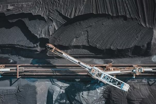
Industrial Site Monitoring & Reporting
Precision Stockpile & Earthworks Monitoring – Detailed imagery for Smarter Planning & Reporting.
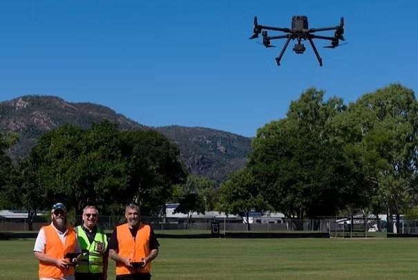
Drone (RPA) Training & Assessment
Townsville based drone courses to suit everyone! facilitated by Global Drone Solutions.
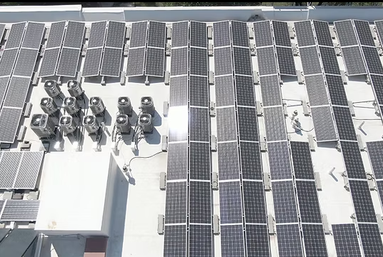
Commercial Roof & Solar Inspections
Routine Commercial & Industrial Roof & Solar Condition & Installation Monitoring.
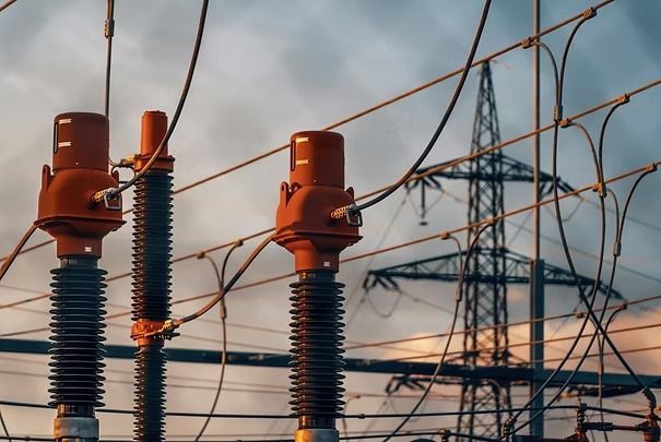
Energy Infrastructure Inspections
Energy Infrastructure Inspections for condition & damage, compliance and integrity reporting.

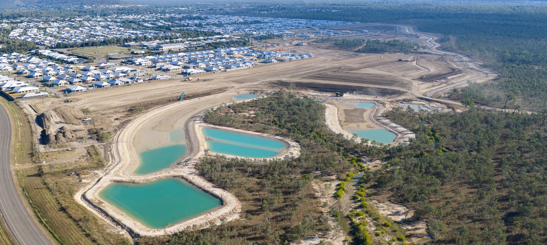

Repeatable Progress Monitoring Specialists
UAScend Aerial Solutions provides professional drone services in Townsville and across Queensland, supporting construction, development, agriculture, infrastructure and industrial projects with accurate aerial data, repeatable progress imagery and high-quality project documentation.
Our construction progress monitoring is designed around consistency. Repeatable flight paths, camera positions, heights and angles allow the same areas to be photographed at each visit, creating a clear visual timeline of the project. A three-image sequence can show how earthworks, structures, access roads and surrounding areas have changed between reporting periods.
This repeatability gives project managers, developers, contractors and stakeholders a reliable record of completed work. It can support progress meetings, milestone reporting, client updates, payment claims, dispute resolution and long-term project archiving. Flights can be scheduled weekly, fortnightly, monthly or at key construction stages.
The same site visit can also be used to collect detailed aerial survey and mapping data, increasing the value of each mobilisation. Depending on the project requirements, deliverables may include high-resolution orthomosaic maps, point clouds, terrain and surface models, 3D site models, contour data and elevation information.
Additional outputs can include stockpile volumes, cut-and-fill assessments, change detection, site measurements, cross-sections and web-viewable project models. LiDAR capture can also improve terrain definition in complex environments, including sites with vegetation or limited visual texture.
By combining repeatable progress photography with structured mapping and survey data, clients receive both an easy-to-understand visual record and practical information for planning, reporting, engineering review and informed project decision-making.
Why businesses choose UAScend
✓ Fast turnaround for aerial imagery, mapping and inspection deliverables
✓ Accurate drone data for project planning, reporting and decision-making
✓ Safer inspections of roofs, structures, towers and difficult-access areas
✓ Townsville-based service with capability across Queensland
Using advanced drone technology, structured flight planning and efficient processing workflows, we deliver practical aerial data without unnecessary delays. Drone inspections and aerial capture can also reduce the need for personnel to enter hazardous or difficult-access areas, helping improve safety and project efficiency.
Whether you require construction progress photos, drone mapping, infrastructure inspections or commercial aerial photography, UAScend provides dependable results from initial planning through to final delivery.
Call 0406 669 838 or contact UAScend Aerial Solutions below to discuss your next drone project.
Enquire Today
Need reliable aerial data for your project?
Send an enquiry and the team will get back to you.
Thank you for contacting UAScend Aerial Solutions.
We will get back to you as soon as possible.
Oops, there was an error sending your message.
Please try again later.
Professional Drone Services
in Townsville and Across Queensland
UAScend Aerial Solutions provides professional drone services across Townsville and throughout Queensland for construction, development, agriculture, infrastructure, commercial property and industrial projects.
Our services include construction progress monitoring, drone mapping, aerial photography, asset and infrastructure inspections, telecommunications tower inspections, agricultural imaging, insurance assessment imagery and commercial marketing content.
Using advanced enterprise drone technology, structured flight planning and efficient data-processing workflows, we deliver accurate aerial imagery and practical project data that supports planning, reporting, inspections, compliance and informed decision-making.
As a Townsville-based CASA ReOC operator, we understand local airspace, Queensland weather conditions, site-access requirements and the operational needs of regional and metropolitan businesses.
Explore our drone services, view our recent aerial projects or contact UAScend Aerial Solutions to discuss your requirements.
Competitive Price Guarantee
UAScend Aerial Solutions combines local capability, professional flight planning and efficient project delivery to provide competitive commercial drone services across Townsville and throughout Queensland.
We will match or beat a comparable written quote from an appropriately qualified CASA ReOC-holding drone operator carrying equivalent $20 million aviation liability insurance.
Safer. Faster. Smarter. Guaranteed.
Fast Turnaround
Actionable Data
Safer Inspections
Local Capability. Smarter Project Delivery
UAScend Aerial Solutions is based in Burdell, Townsville, and operates throughout North Queensland. Working with a genuinely local provider means your project is not burdened by the delays, mobilisation expenses and logistical overheads often associated with bringing in external operators.
There are no unnecessary flights, accommodation costs or long-distance travel charges built into local project pricing. Your investment remains focused on safe operations, accurate data and high-quality deliverables.
Why working with a local team matters
- Travel is included for projects within our 40-kilometre primary service area, with no separate mobilisation fee.
- Local projects do not carry accommodation or long-distance travel overheads.
- Flight schedules can be adjusted quickly to accommodate changing North Queensland weather conditions.
- Local knowledge supports efficient planning around Townsville airspace, site access, council-controlled land and permit requirements.
- Responsive local support makes repeat visits, progress monitoring and time-sensitive work easier to coordinate.
Our service regions and pricing are clearly defined from the outset, helping eliminate hidden costs and unexpected charges.
All operations are professionally planned, risk-assessed and recorded through AVCRM, providing a secure and traceable record of flight planning, operational documentation and CASA regulatory compliance. Quotations, invoicing and payment records are managed through Xero, creating a clear and efficient paperless administration process.
How our service regions are structured
- Our primary service area extends 40 kilometres from our Burdell base, covering the greater Townsville metropolitan area and surrounding suburbs.
- Travel within this area is included, with no separate mobilisation charge.
- Projects extending further are quoted with transparent, itemised travel costs.
- Remote, multi-day and large-scale projects are individually scoped, with agreed pricing established before work begins.