
Insurance Assessment Imagery in Townsville
Based in Townsville, serving Queensland wide
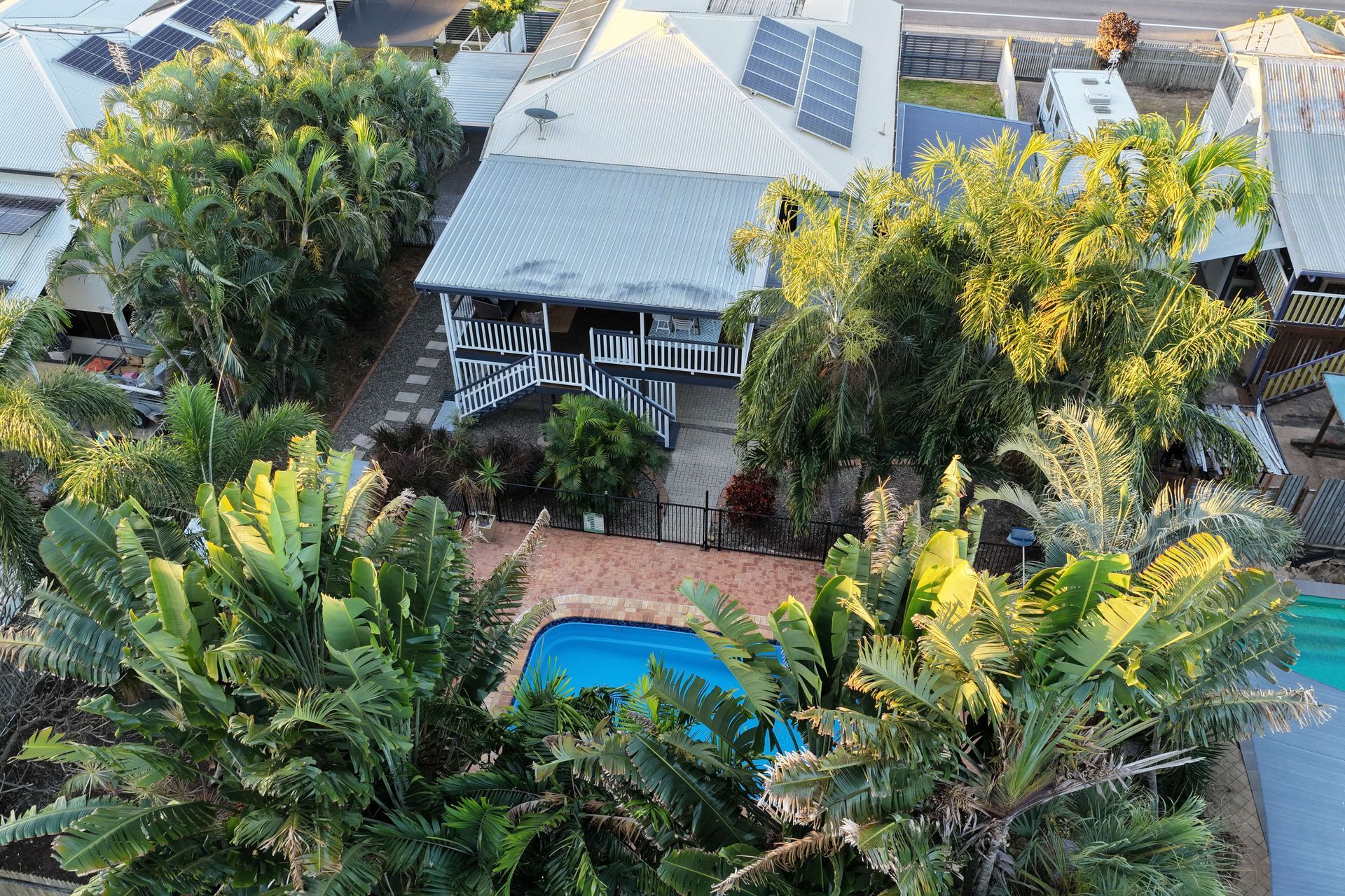
Clear Evidence When It Matters Most
Insurance assessment imagery provides fast, accurate aerial documentation across Townsville and surrounding North Queensland regions following events such as storms, fires and floods. At UAScend Aerial Solutions, we capture high-resolution aerial imagery that helps property owners, insurers and assessors document damage clearly without delays or unsafe site access.
Key benefits of this service include:
- Fast deployment to capture clear damage evidence for insurance claims
- Safer assessment of unstable, damaged or difficult-to-access areas
Rapid aerial capture provides a reliable visual record of site conditions, allowing claims to be reviewed with greater clarity. This approach helps reduce delays, supports communication between stakeholders and provides detailed evidence that may be difficult to capture from the ground.
Call 0406 669 838 to organise insurance assessment imagery.
Better Documentation For Claims & Recovery
Accurate documentation plays a crucial role in supporting insurance claims after storm, fire or flood damage. Drone-based capture provides high-resolution, geolocated imagery that records affected areas from multiple angles. This helps adjusters, insurers and property owners understand the extent of damage without relying on slow or unsafe ground inspections.
Assessment options can include basic residential or small commercial imagery, larger property documentation, optional 4K video for added context and tailored support for urgent deployment or complex loss claims. Clear visual evidence helps streamline the claims process and provides a stronger foundation for reporting and resolution.
All flights are completed by CASA certified pilots and operations are fully insured by Precision Autonomy. This ensures each assessment is carried out professionally, safely and with the right level of detail for the claim requirements.
Get in touch to discuss custom claim support for your property.
Fast Turnaround
Actionable Data
Safer Inspections
Enquire Today
Need fast aerial imagery after a storm, fire or flood?
Send through your details and the team will be in touch shortly.
Thank you for contacting UAScend Aerial Solutions.
We will get back to you as soon as possible.
Oops, there was an error sending your message.
Please try again later.
FAQ
How quickly can insurance assessment imagery be captured after damage occurs?
Insurance assessment imagery can usually be captured once conditions are safe for drone deployment. Fast response is important after storms, fires or floods because site conditions can change quickly. Early aerial imagery helps document damage before repairs, clean-up or further weather impacts alter the scene. The exact timing will depend on access, weather and safety requirements. Prompt capture helps provide clearer evidence for the claims process.
What types of damage can aerial imagery document?
Aerial imagery can document damage caused by storms, fire, flooding and other major events. This may include roof damage, structural impacts, water damage, debris, access issues and broader property conditions. High-resolution photos can capture affected areas from angles that may be difficult to reach safely from the ground. Optional video can also provide extra context for larger properties or complex claims. This visual evidence helps insurers, assessors and property owners understand the extent of damage more clearly.
How does drone imagery support an insurance claim?
Drone imagery supports an insurance claim by providing clear, geolocated visual evidence of damage at a specific point in time. This helps improve documentation and gives adjusters a more complete view of the property. It can also reduce the need for personnel to access unstable or hazardous areas. Detailed imagery may assist with complex loss claims where standard photos are not enough. Clear aerial evidence can help speed up communication, reporting and claim resolution.