
Construction & Development Monitoring in Townsville
Based in Townsville, serving Queensland wide
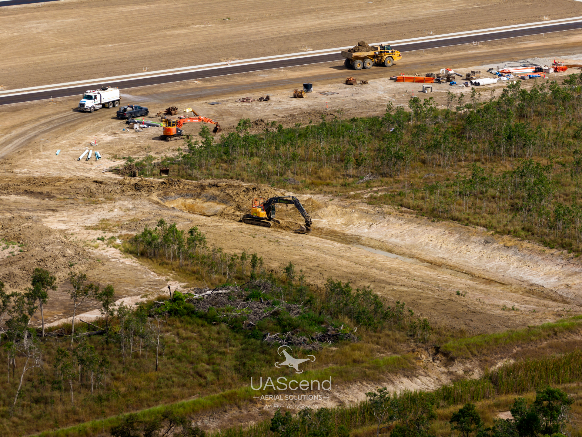
Keeping Projects On Track
Construction drone monitoring supports project managers and site supervisors who need clear, consistent visibility across active sites in Townsville. At UAScend Aerial Solutions, construction and development monitoring provides a faster, safer and more effective way to capture full site overviews, helping track progress, manage resources and identify issues early without relying on time-consuming site walks.
Key benefits of this service include:
- Faster site visibility to improve reporting, coordination & progress tracking
- Safer operations by reducing personnel exposure to hazardous areas
Aerial data creates objective visual records that support progress claims, stakeholder updates and dispute resolution. This improves communication across teams while delivering reliable insights at every stage of the build. With consistent updates and clear reporting, projects stay aligned and better controlled.
Call 0406 669 838 to organise construction monitoring support today.
Built For Real Site Conditions
Construction monitoring is delivered through structured packages designed to suit different project requirements:
- Site Snapshot Package (One-off)
~60–75 minutes on site
20–30 high-resolution photos (basic edits)
1 short raw HD (4K) video clip - Fortnightly Progress Tracker (Recommended 6-month term)
~60 minutes per visit (2 visits per month)
~30 high-resolution photos per visit - Weekly Pro Monitoring (Recommended 6-month term)
~60–75 minutes per visit (4 visits per month)
30+ high-resolution photos per visit
Optional edited HD (4K) progress video (30–60 seconds per month)
Cloud storage access available - Custom Project Monitoring
Mapping, volumetrics & tailored reporting available on request
As-built vs design overlays allow clear comparison between site progress and original plans, helping verify completed work with accurate visual data. These outputs support progress claims, stakeholder reporting and project documentation, giving teams greater confidence in reporting and coordination.
Explore the right package for your project or get in touch to organise a customised solution.
Fast Turnaround
Actionable Data
Safer Inspections
Enquire Today
Need clear, consistent site updates for your project?
Send through your details and the team will be in touch shortly.
Thank you for contacting UAScend Aerial Solutions.
We will get back to you as soon as possible.
Oops, there was an error sending your message.
Please try again later.
FAQ
How can construction progress be tracked remotely?
Construction progress can be tracked remotely through scheduled aerial data capture that shows current site conditions in detail. These updates allow teams to review progress, identify delays and confirm completed work without being physically on site. Visual timelines can be created to show changes over time, making it easier to monitor each stage. This helps keep stakeholders informed and improves overall project visibility. Remote tracking also reduces time spent on site while maintaining accuracy.
How accurate is construction drone monitoring?
Construction drone monitoring provides highly accurate visual data when captured consistently across a project. Aerial imagery allows teams to clearly see site conditions, measure progress and compare changes over time. When combined with mapping or overlays, accuracy improves further by aligning captured data with design plans. This helps identify discrepancies early and supports better quality control. Reliable data capture leads to more confident decision making throughout the project.
Can aerial data be used for progress claims?
Aerial data provides visual evidence that can support progress claims and project reporting. High-resolution imagery captures completed work at specific stages, helping confirm milestones and site activity. This information can be shared with stakeholders to improve transparency and communication. Visual records also assist in resolving disputes by providing an objective reference. Using aerial data strengthens reporting accuracy and supports smoother project delivery.